

Early warning to minimize the damage of extreme weather events that are now the norm. Demand becomes stronger with time and as environmental disasters multiply. also It was recently reintroduced by the World Health Organization For the heat waves that continue to hit our cities more seriously: the last one, which occurred last summer, has caused 20,000 deaths in Europe. And me Satellites They already play a major role in monitoring the climate crisis. But is it also possible, using satellites, to obtain images, interpreted by advanced software, that make it possible to predict the disturbing development of a landslide by interpreting the first signs of a landslide? Could an electronic eye orbiting the planet help us intervene on Earth? The thesis was submitted by the physicist Rodolfo Jose And also I forgetSpeaking of a model developed by NASA’s Goddard Space Flight Center that had already earned the title some time ago “Satellite eyes help predict landslides.” Study co-author Dalia Kirschbaum says, “This model identifies the time, location, and severity of potential landslide hazards.” in near real time around the world.” But opinions differ on the applicability of these systems.
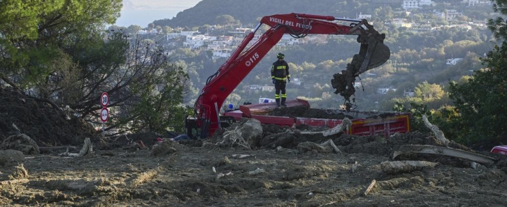
“Let’s clear up an area of misunderstanding: satellites cannot predict earthquakes in any way nor perform preventive monitoring of landslides except in certain circumstances,” explains Alessandro Coletta, physicist and mission manager for COSMO-SkyMed of the Italian Space Agency (ASI). “On the contrary, they can make an essential contribution to the management of emergencies linked to extreme events, allowing for example to create maps both of an emergency in progress, important for optimal rescue transport, and useful for assessing the damage caused,” according to Coletta, the “tragic Ischia incident , which was characterized by the movement of hundreds of meters in a few minutes, it cannot in any way be prevented, for precise scientific and technical reasons, by any kind of satellite, whether national, European or international, and it follows from this that every statement raises questions about satellites to prevent A phenomenon of this kind is completely unfounded, in contrast to the case of phenomena with slow kinetic capabilities and limited displacements that currently operating satellite missions could be of great interest. Support in an emergency.
In particular, it is important to remember that the national constellation of COSMO-SkyMed Radar satellites, now present with up to five operating satellites in orbit and capable of observing day and night, has been monitoring the entire Italian territory every 16 days for 16 days. 13 years, enabling the creation of an essential data archive in the management of hydrogeological instability emergencies. This is what is happening in Ischia these days. Thanks to satellite images captured in these hours, they explain from the e-GEOS operations room, calculations have been produced that reconstruct where the mudflow began and how it moved. Moreover, by merging satellite images with aerial images, detailed maps of damaged buildings and infrastructures have been identified.

“Internet trailblazer. Travelaholic. Passionate social media evangelist. Tv advocate.”
More Stories
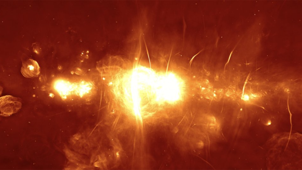
Earth is much closer to the Milky Way’s black hole than previously thought: this discovery
Earth prepares for the arrival of a powerful solar storm – Space and Astronomy
An asteroid the size of the Giza Pyramid will pass by Earth today